Satellites unveil the size and nature of the world’s coral reefs
University of Queensland-led research has shown there is more coral reef area across the globe than previously thought, with detailed satellite mapping helping to conserve these vital ecosystems.
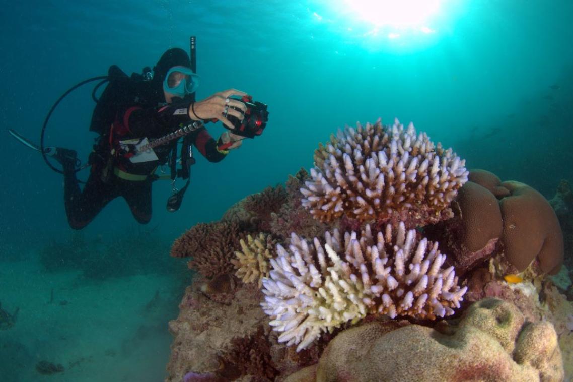
Dr Mitchell Lyons from UQ’s School of the Environment, working as part of the Allen Coral Atlas project, said scientists have now identified 348,000 square kilometres of shallow coral reefs, up to 20-30 metres deep.
“This revises up our previous estimate of shallow reefs in the world’s oceans,” Dr Lyons said.
“Importantly, the high-resolution, up-to-date mapping satellite technology also allows us to see what these habitats are made from.
“We’ve found 80,000 square kilometres of reef have a hard bottom, where coral tends to grow, as opposed to soft bottom like sand, rubble or seagrass.
“This data will allow scientists, conservationists, and policymakers to better understand and manage reef systems.”
More than 1.5 million samples and 100 trillion pixels from the Sentinel-2 and Planet Dove CubeSat satellites were used to capture fine scale detail on a high-resolution global map.
“It’s more than just a map – it’s a tool for positive change for reefs and coastal and marine environments at large.”
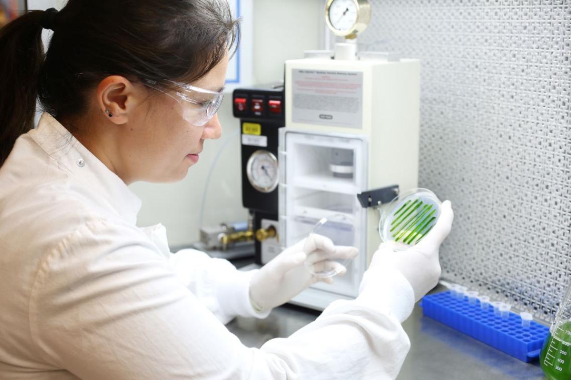
UQ’s Associate Professor Chris Roelfsema said the reef mapping project, a collaboration with more than 480 contributors, is already being used in coral reef conservation around the world.
“The maps and associated data are publicly accessible through the Allen Coral Atlas and Google Earth Engine, reaching a global audience,” Dr Roelfsema said.
“They’re being used to inform projects in Australia, Indonesia, the Timor and Arafura Seas, Fiji, Solomon Islands, Tonga, Vanuatu, Panama, Belize, Bangladesh, India, Maldives, Sri Lanka, Kenya and western Micronesia.
“The details provided by these maps empowers scientists, policymakers and local communities to make informed decisions for the preservation of our coral reefs.”
The Allen Coral Atlas was conceived and funded by the late Paul Allen’s Vulcan Inc. and managed by Arizona State University along with partners from Planet, the Coral Reef Alliance and The University of Queensland.
The research paper is published in Cell Reports Sustainability.
Images available via Dropbox.
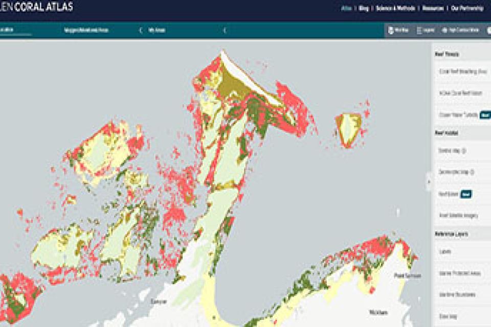
Above left: A screenshot of the Allen Coral Atlas, highlighting key data off the coast of Western Australia.
Media contacts
Dr Mitchell Lyons
m.lyons@uq.edu.au
+61 405 911 415
Faculty of Science Media
science.media@uq.edu.au
+61 438 162 687
Related articles
Thousands of Queensland reef photos lead to worldwide change