
Satellites a solution for tracking coral reef health
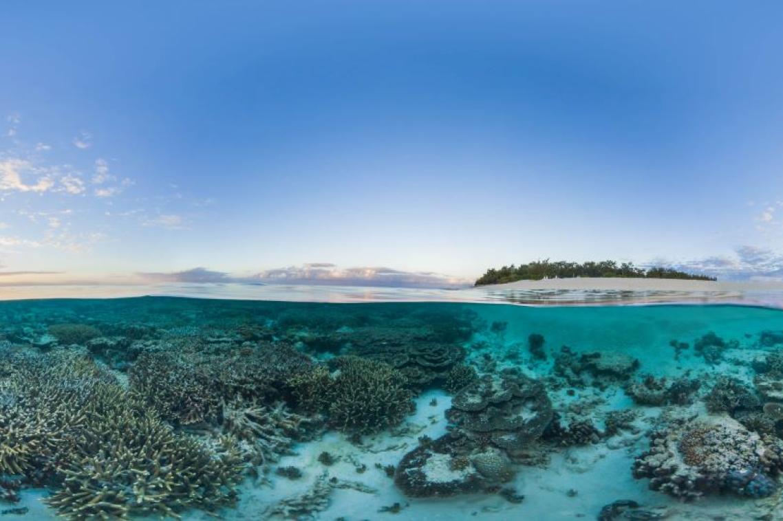
Healthy coral near Wilson Island in the Great Barrier Reef.
Satellites orbiting Earth offer great potential to better understand the world’s reefs over time beyond the sites visited by researchers, University of Queensland research has found.
PhD candidate David E. Carrasco Rivera from UQ’s School of Environment analysed thousands of images from 20 years of field studies and satellites captured of Heron Reef.
“Most of what we know about world’s reefs comes from field data, which is done in less than 0.1 per cent of the actual reef area,” Mr Carrasco Rivera said.
“That’s like completing a full body assessment by only looking at a portion of your finger.
“Our study found using satellite imagery gives researchers the ability to continually monitor the reef and identify trends in the environment beyond the areas visited.
“By combining machine learning with the image data sets, we created annual maps of reef composition over 2 decades.
“Satellite imagery will never replace field data completely, but many reefs are too big and remote to visit every square metre due to research funding constraints and weather conditions.”
Mr Carrasco Rivera used the field photos to estimate and map how much sand, rock and coral was present in the areas where satellite photos were only taken.
Associate Professor Chris Roelfsema has led a monitoring program at Heron Reef that has been ongoing for more than 20 years.
He said understanding the entirety of the reef over time is vital to making appropriate conservation and management decisions.
“We look at ourselves in the mirror daily so we can identify small changes in appearance when we are sick, it’s the same with the reef, we need to see it regularly to notice changes,” Dr Roelfsema said.
“Consistent and ongoing monitoring is a key contributor to understanding what a normal environment cycle is, or if another factor is leading to changes including coral cover variations and colour.
“This review shows satellites allow us to do this with 59 to 81 per cent accuracy depending on environmental conditions.
“The study found satellite data was accurate enough to supplement field data for up to 3 years if researchers can’t get out in the water for that period.
“If you can only get out to a very small part of the reef, you can miss vital changes.
“For example, a reef could be impacted by bleaching, and if you don’t have information before the event then it’s hard to understand the impact or to assess the recovery.”
Dr Roelfsema said the study was possible through the facilities of UQ’s Heron Island Research Station.
“Access to the permanent research station meant we were able to consistently monitor the surrounding reef for 2 decades whereas many projects struggle to have easy access to the reef,” he said.
“These remote sensing findings have scope to benefit reefs across the globe as they continue to be impacted by climate change.”
The research was published in Remote Sensing.
Related articles

Turning up the heat on chickpea yield
