Thousands of Queensland reef photos lead to worldwide change
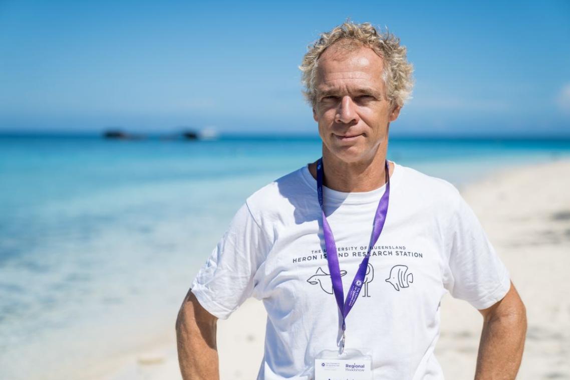
Associate Professor Chris Roelfsema on Heron Island.
Each time University of Queensland Associate Professor Chris Roelfsema sets foot on the sun-bleached timber jetty of Heron Island, the Dutch national feels like he’s come home.
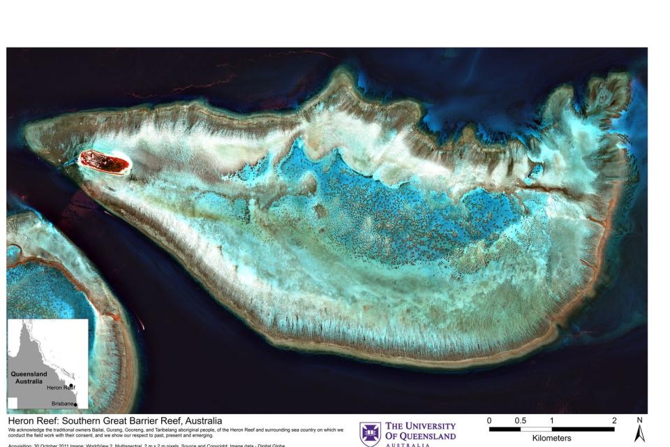
The tiny coral cay, 800 metres long and 400 metres wide, is located about 2 hours off the central Queensland coast at the southern end of the Great Barrier Reef.
“I’ve been at least once a year since 1998, sometimes I’m there 4 times visiting UQ’s Heron Island Research Station,” Dr Roelfsema said.
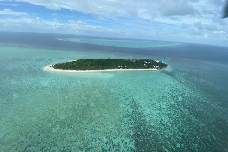
Aerial view of Heron Reef and Island.
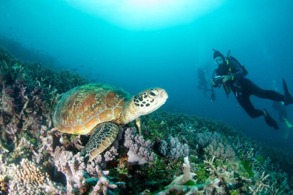
Surrounding the cay is 28 square kilometres of coral reef, home to turtles, tropical fish and a variety coral species.
“It’s been a great research ground and what we’ve learnt here has improved the understanding of reefs across the world,” he said.
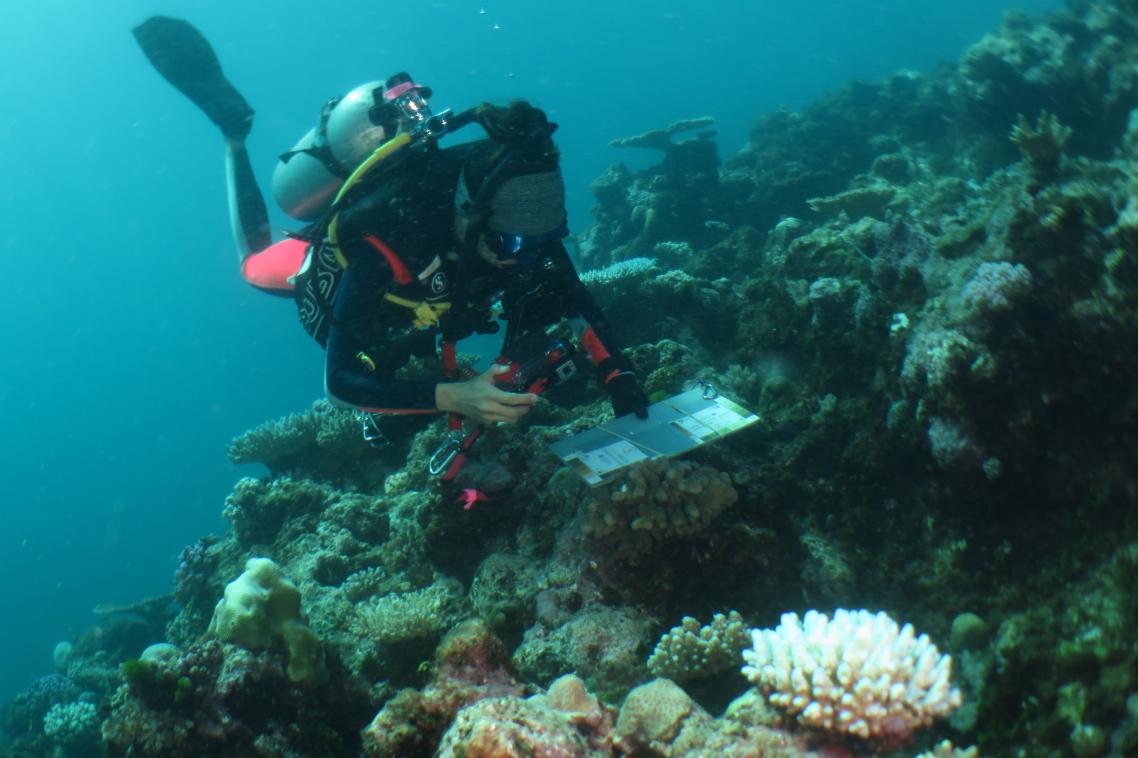
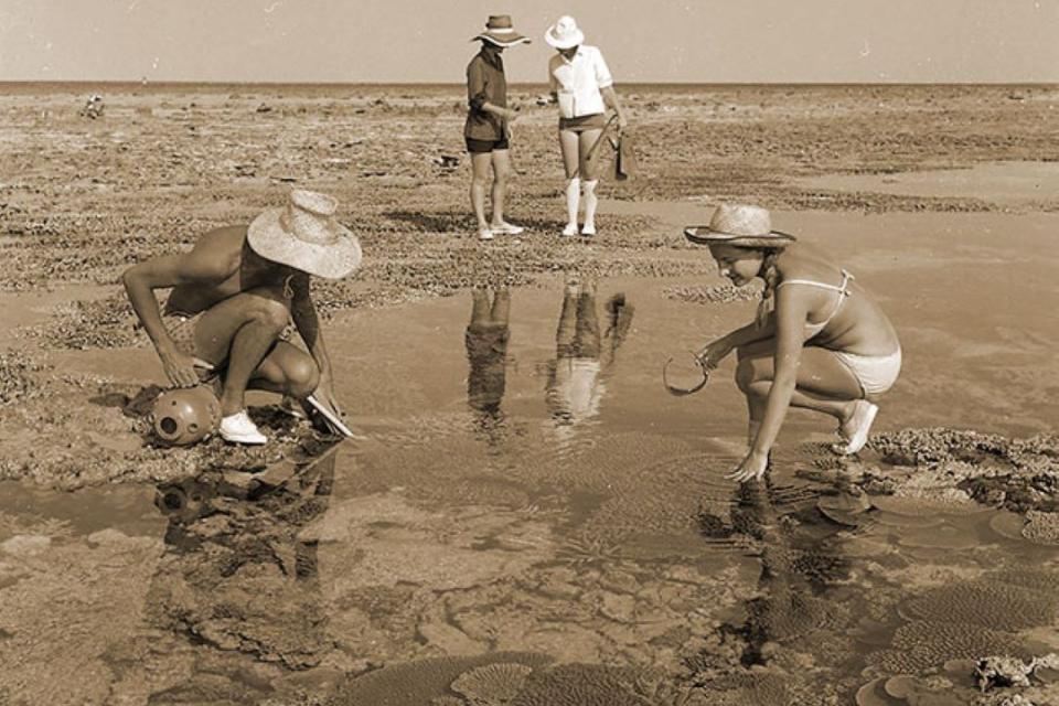
Each year, a team of divers takes more than 4,000 photos of the seabed across the diverse habitat beneath the crystal-clear waters.
The photo quadrants capture a 1 metre square area of the sea floor.
Within the same period, satellites take photos capturing a bird’s eye view of the reef.
“When we first started mapping the reef, we would have to coordinate for a satellite to take a photo when the divers are gathering the photos underwater,” Dr Roelfsema said.
A satellite image of Heron Reef.
“Today anyone has access to satellite images online captured daily for any place on earth that distinguish features 5 metres or bigger.”
When the project began, the underwater cameras could only take 36 photos per dive and developing the images took up to 3 weeks.
“Then we had to manually analyse the composition of each photo at a rate of 50 photos per hour,” he said.
“Now, we collect thousands of photos on a field trip and view the results almost instantly as we now automatically analyse them for composition at a rate of 1,000 in several hours.”
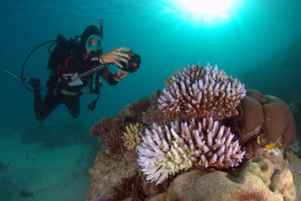
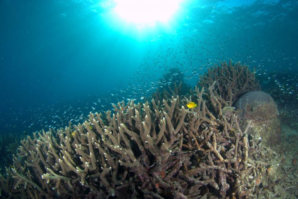
A diver taking a photo of bleached coral on Heron Reef.
Global significance
The annual field work has become the world's longest and most detailed reef composition series over time and space.
The photos capture coral growth and decline, which have become instrumental for documenting impact following cyclone or coral bleaching events.
“Each photo is geolocated with GPS and analysed to document the diversity of the environment in the photo whether it’s sand, rock or coral," he said.
“We then use the underwater photos and the satellite imagery to create habitat maps to monitor the reef over space and time.”
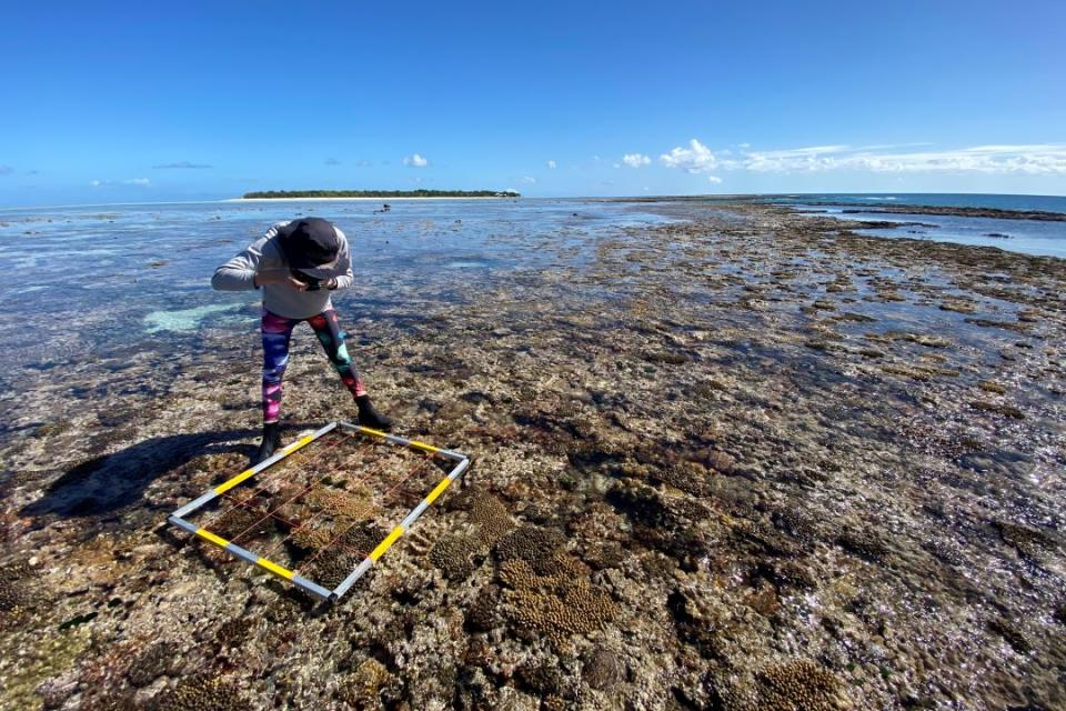
Researcher conducting a survey on Heron Reef.
Citizen scientists from UQ’s Coral Watch and Reef Check Australia also contributed to the field data, in addition to reef sensors, which regularly log information including water temperature and waves.
The satellite mapping research led to the Allen Coral Atlas project, which digitally mapped every shallow coral reef in the world.
“If you told me 20 years ago our research on Heron Island motivated this, I wouldn’t have believed you,” Dr Roelfsema said.
“We combined 2 million satellite images and enormous amounts of field data from across the world to create the maps to fill information gaps about locations scientists haven’t been to.
“The verification and mapping approaches are based on the 20 years of experience UQ has in reef knowledge, field data and earth observation processes to map and monitor coral reefs.”
The size and remoteness of the Earth’s reefs makes some locations too expensive or time consuming to travel to, despite the environment’s importance.
“25 per cent of marine species are dependent on coral reefs as source of food and coastal protection,” Dr Roelfsema said.
“If you understand something well and how it changes over time or responds to normal periods vs impact, you better understand when a reef is threatened.
“You also understand how it could be conserved and protected better and how we can manage it better.
“Thanks to these projects, for the first time we can have an understanding of how the reefs are changing over time naturally and as a result of impacts.”
Heron's legacy
Heron Island is more than 6,000 years old and was named by European settlers when they arrived in 1843.
The cay was briefly home to a turtle soup cannery before academia became its biggest export, which led to the establishment of the UQ owned Heron Island Research Station.
Coral researchers in 1970.
Today, Traditional Owners, government bodies and universities, including UQ, work together to conserve biodiversity, enhance the reef’s resilience, and ensure cultural heritage and connections to Country.
Connecting and acknowledging the traditional owners of the sea country, and sharing knowledge is a key responsibility to study the reefs collaboratively.
“Heron provides the perfect environment to learn about the reef and educate about the reef,” Dr Roelfsema said.
“It’s legacy and facilities allow for continuous research, which has implications for reefs all over the world.”
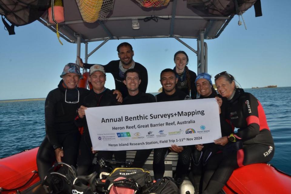
Associate Professor Chris Roelfsema, Josh Passenger, Dr Nick Hammerman, Dr Dylan Cowley, David Enrique Carrasco Rivera, Kirsten Golding, Joanna Smart, Diana Kleine.
Dr Roelfsema said much of what science learned about reefs was based on studies completed in 0.001 per cent of reefs.
“That makes comparing variability across sites very difficult and if we aren’t regularly visiting sites, we can’t understand the symptoms of a normal cycle,” he said.
“For instance, declines in coral growth are sometimes cyclical, but it’s undeniable how much of an impact climate change is having.”
He said climate change had caused visible impacts in the 27 years he had studied the reef surrounding Heron.
“The diversity of life has reduced and due to climate change-driven impacts the reef has lost some healthy coral but the reef is strong hence we need to nurture it,” he said.
“The next generation of scientists will see the reefs I have seen, and possibly still be impressed by its beauty, however it’s no comparison to how it was when the project began.
“The work of scientists is even more vital to show the facts to the community and connect them to the reef to motivate them to conserve these beautiful and important systems."
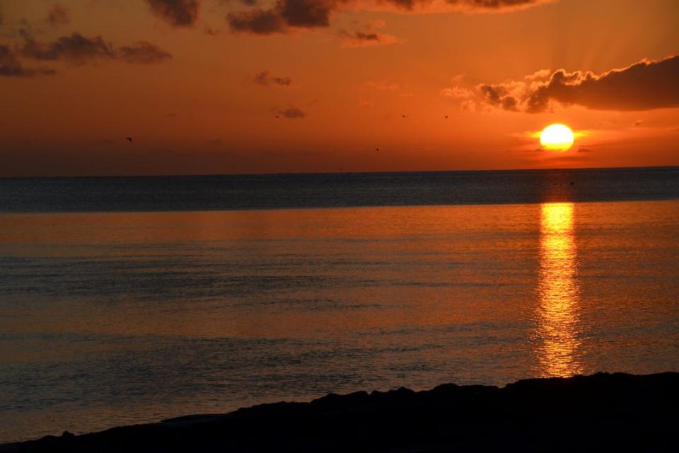
Sunset at Heron Reef
Related articles
Superconducting germanium made with industry-compatible methods